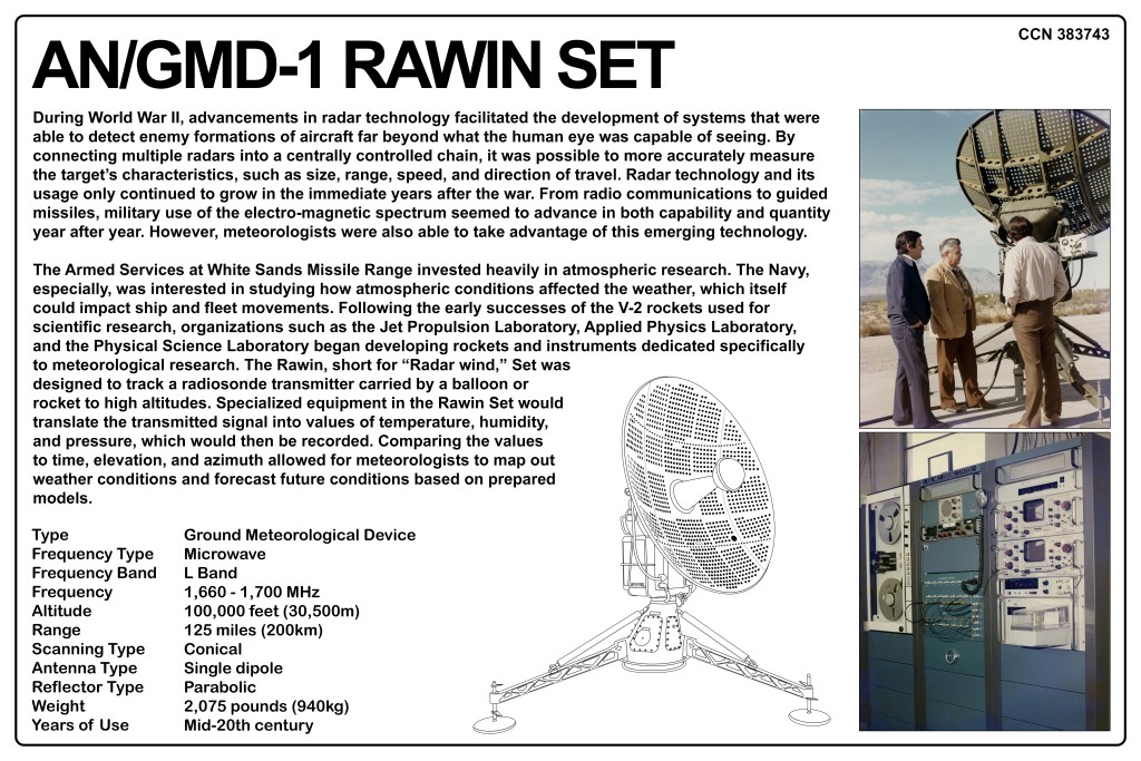
Rawin Ground Meteorological Device (GMD) Radar Set
| Type: | Ground Meteorological Device |
| Frequency Type: | Microwave |
| Frequency Band: | L Band |
| Frequency: | 1,660 – 1,700 MHz |
| Altitude: | 100,000 feet (30,500m) |
| Range: | 125 miles (200km) |
| Scanning Type: | Conical |
| Antenna Type: | Single Dipole |
| Reflector Type: | Parabolic |
| Weight: | 2.075 pounds (940kg) |
| Years of Use: | Mid-20th century |
During World War II, advancements in radar technology facilitated the development of systems that were able to detect enemy formations of aircraft far beyond what the human eye was capable of seeing. By connecting multiple radars into a centrally controlled chain, it was possible to more accurately measure the target’s characteristics, such as size, range, speed, and direction of travel. Radar technology and its usage only continued to grow in the immediate years after the war. From radio communications to guided missiles, military use of the electro-magnetic spectrum seemed to advance in both capability and quantity year after year. However, meteorologists were also able to take advantage of this emerging technology.
The Armed Services at White Sands Missile Range invested heavily in atmospheric research. The Navy, especially, was interested in studying how atmospheric conditions affected the weather, which itself could impact ship and fleet movements. Following the early successes of the V-2 rockets used for scientific research, organizations such as the Jet Propulsion Laboratory, Applied Physics Laboratory, and the Physical Science Laboratory began developing rockets and instruments dedicated specifically to meteorological research. The Rawin, short for “Radar wind,” Set was designed to track a radiosonde transmitter carried by a balloon or rocket to high altitudes. Specialized equipment in the Rawin Set would translate the transmitted signal into values of temperature, humidity, and pressure, which would then be recorded. Comparing the values to time, elevation, and azimuth allowed for meteorologists to map out weather conditions and forecast future conditions based on prepared models.